eNews

#03 2026

From Innovation to Impact: RAL Space and SAEON Advanced Hyperspectral Mapping in the Northern Drakensberg, South Africa

By Londiwe Gule, SAEON Grassland Node

SAEON recently hosted colleagues from Science and Technologies Facilities Council (STFC) RAL Space in the United Kingdom for an intensive one-week field campaign in the Drakensberg, KwaZulu-Natal. The visit marked a key milestone in the 2-year UK Research Infrastructure (UKRI) funded project aimed at developing and validating high-resolution datasets for the Northern Drakensberg for use in land and water management and modelling applications. The collaboration capitalises on the expertise of STFC RAL Space in earth observation and SAEON long-term field-based monitoring networks and local knowledge. 

Field Deployment, Technology Testing and Knowledge exchange

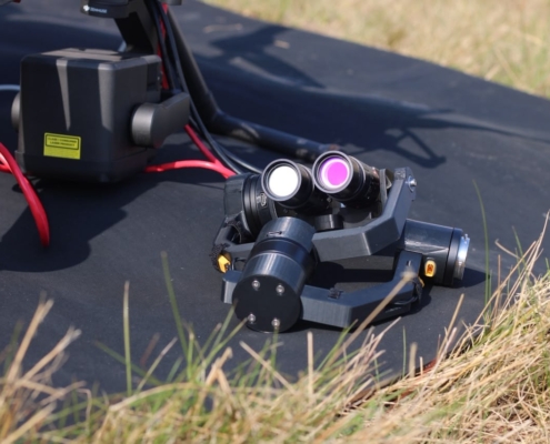
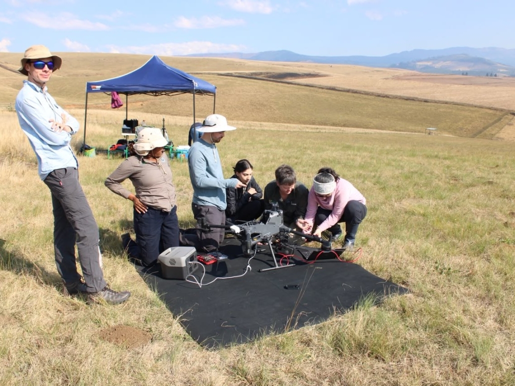
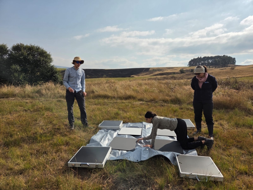
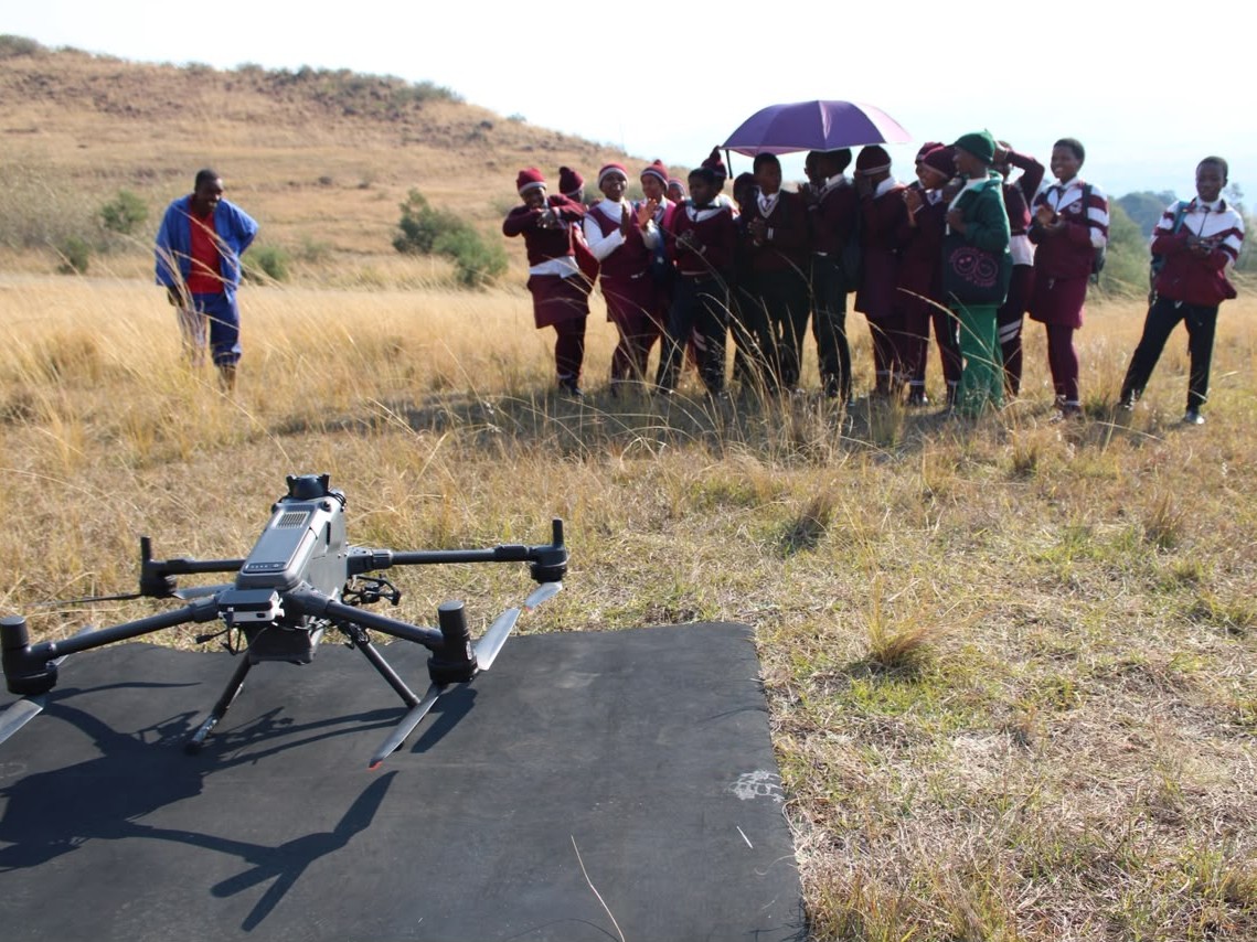
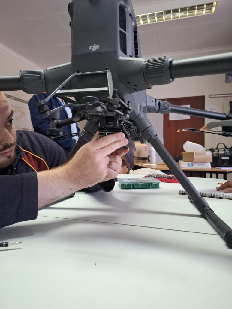
The campaign centred on the first South African deployment of a newly upgraded Unmanned Aerial System (UAS)-mounted hyperspectral imaging (HSI) system. Specially developed by RAL Space to operate with the DJI Matrice 400 platform, the state-of-the art payload incorporates dual multispectral cameras, an upward-facing downwelling spectrometer, a two-axis stabilised gimbal, and newly developed Python-based camera control software. Following the mounting of the HSI system on the UAS and pre-deployment checks, the joint team completed a series of successful test flights, evaluating system performance under South African terrain, environmental and atmospheric conditions, and refined operational procedures.

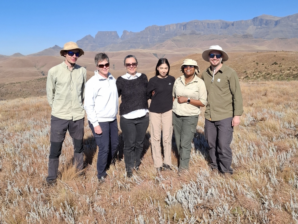
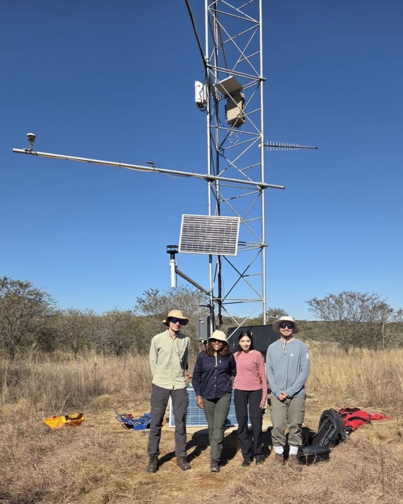
Crucially, the campaign served as a comprehensive training and capacity development exercise. The RAL Space team comprised Melina Zempila, Tom Snelling, and Connor McGurk, worked alongside the SAEON team of Michele Toucher, Ameera Yacoob, and Londiwe Gule from the Grasslands node, and Kathleen Smart, Jeremy Moonsamy, Sachin Doarsamy and Zanele Shezi from the Northern Drakensberg EFTEON landscape team. Through hands-on training spanning payload assembly and mounting, calibration, flight planning and operations, and data acquisition, the SAEON research team are now equipped to operate the system independently during future monitoring campaigns.
By bridging the gap that exists between in-situ monitoring and relatively coarse resolution satellite imagery, repeat UAS-HSI flights will allow for the development of datasets to track fine-scale ecological changes over time and larger spatial areas. These changes, such as the degradation of grasslands and vast gully formation, alien invasive vegetation spread, woody thickening and changes in C3/C4 vegetation composition, impact on the water quantity and quality of the area as well as agricultural productivity and grazing capacity and ultimately people’s livelihoods. 

Contextualizing Research Across Diverse Landscapes

Beyond flight testing, the field week allowed SAEON to guide the UK team through the contrasting landscapes of the Northern Drakensberg to contextualize future applications. The team travelled up the iconic Mike’s Pass to visit the Cathedral Peak Long-term Ecological Research (LTER) site. The site has rich hydroclimotology, ecology and fire records dating back to 1948 that have been used to advance understanding of the ecosystem and the services it provides. This Cathedral Peak LTER provides an invaluable, near-pristine benchmark site for ecological and hydrological process understanding and comparison against human-impacted areas. 

The team also visited the core Northern Drakensberg EFTEON site in Spioenkop Nature Reserve, as well as the nearby satellite site in the Ezimbovini village. Exploring the rugged terrain and vastly different landscape of the Northern Drakensberg provided context to the RAL Space team for the next application phase of the project, and facilitated an exchange of ideas and knowledge between the teams which will enrich the project moving forward.

Engaging Communities Through Science

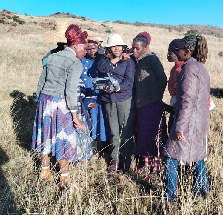
A highlight of the field campaign was the test flight in the Ezimbovini village where the field activities evolved into meaningful community engagement. Flight operations drew the curiosity of village residents and a group of Grade 9 learners. Between flights, the team hosted informal interactive sessions that demonstrated how the hyperspectral camera system captures spectral signatures of vegetation, explaining how UAS-based remote sensing contributes to soil erosion and ecological monitoring and sharing how the technology can support the villages ongoing natural resources stewardship initiatives. These informal interactions demystify advanced Earth observation technologies and make the connection to ongoing initiatives, while also encouraging interest in science, environmental stewardship, and future careers in the geospatial and environmental sciences

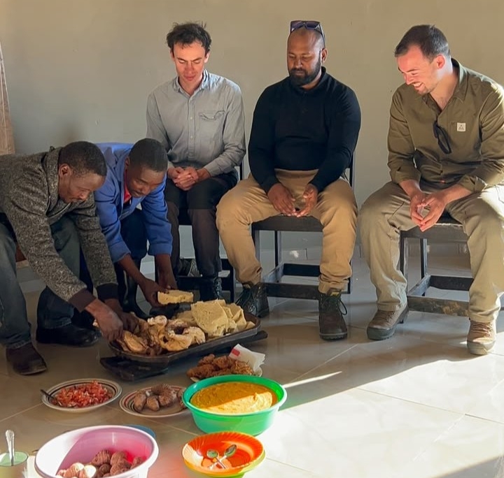
The campaign concluded on a memorable note with a traditional South African meal generously prepared by Mrs Hlongwane, shared together in a rondavel overlooking the Drakensberg. Bringing together international colleagues and local communities, the evening reflected the collaborative spirit of the campaign, in which scientific innovation, technical capacity building and cultural connection marked a highly successful field deployment.